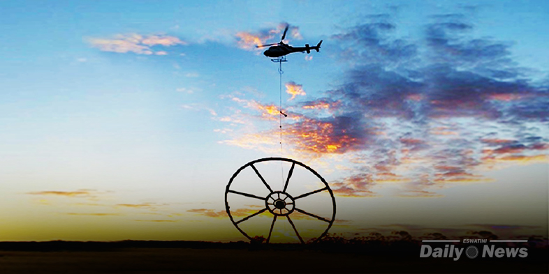
Minister of Natural Resources Honourable Peter Bhembe launched the geoscience mapping project for the Kingdom of Eswatini, a project which will unlock the mining sector in the country. The survey will be conducted by a low flying helicopter, towing an inflatable balloon. Phase one will begin in Hhohho and Manzini regions.
The minister explained that the geoscience mapping exercise will update the mineral inventory of the country and produce quality & reliable geoscientific data and information on the mineral resources in the country.
The Minister also thanked the Republic of China, Taiwan for funding the project.
Geoscience mapping is a process of identifying all the geological aspects of a country with the purpose of preparing a comprehensive database of geological assets. This exercise will replace the old paper maps with more detailed and advanced maps that will show all economic mineral deposits, energy resources, geothermal energy and other natural energy resources like coal, petroleum, natural gas and the like. It will make it much easier for investors to know which minerals are available in the country.
In neighbouring South Africa, geoscience mapping is conducted by the Council for Geoscience which is an organization aimed at stimulating the minerals industry in South Africa in order to “increase exploration expenditure as a means of creating wealth for South Africa and the African continent.” This is a long overdue exercise for Eswatini and Government is commended for embarking on this project.

Related posts
- Comments
- Facebook comments

